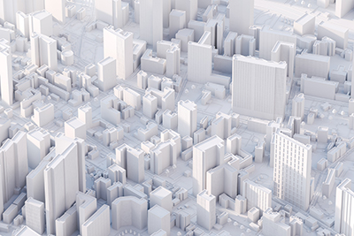
3D mapping of the world is critical to automation systems, including production, inspection, navigation, and more. 3D machine vision, the three-dimensional measurement of complex surfaces and environments, is the next disruptive technology following automation and A.I.
What is Machine Vision?
Machine vision is imaging-based technology that makes automatic inspection and analysis possible. It can automate processes in areas such as product inspection, process control, and robotic guidance. Many software and hardware products, integrated systems, and methods are available.
The machine vision process starts with the capture of an image, followed by automated analysis, and then extraction of information. That information is then used to make a decision. The system interfaces with an automation system to communicate what it should do next.
What is 3D Mapping?
3D mapping has more than one meaning. And it often depends on the industry you're in. 3D mapping can turn 2D and 3D imaging into wide-scale 3D virtualization. Or it could also refer to the localization and mapping of real-world space.
Many techniques can be used to perform 3D mapping. Simpler styles can be produced with passive 3D imaging like stereo camera pairing, detecting depth from focus, or plenoptic methods of detecting light fields.
Active 3D imaging techniques include detecting sheets of light, structured or patterned light, depth based on shadows, or by using interferometry, fringe projection techniques, or time of flight.
Typical 3D mapping applications include:
- Inspection and measurement
- Object reconstruction
- Simultaneous localization and mapping
- 3D projection and virtualization
- Physical mapping and virtual reality
The Future of 3D Mapping
3D mapping already has a strong foothold in many industries. From construction to manufacturing, 3D mapping helps us build better homes and products. It's even helping to uncover the secrets of Earth's unmapped oceans and unvisited celestial neighbors.
Today, 3D mapping is mainly used to help automation systems collect spatial and depth information about an area, object, or environment. But in the future, it could be used by autonomous robots to map unexplored terrain that could then be converted into 3D maps for human explorers.
Imagine a world where the dull, dirty, and dangerous tasks once performed by humans are replaced with autonomous machines. It might sound like science fiction, but many manufacturers are already using automation in some way or another. And 3D mapping will boost it even more.
3D machine vision and mapping systems play a key role in some of the most exciting technologies. Embedded vision and SLAM technology will take mobile robots to an unprecedented level of autonomy, offering many benefits for businesses and a leap forward for mobile robots.
For their newest path planning system, John Deere is using a baseline stereo camera to navigate around potential obstacles. Experts expect fully automated trucks and delivery vehicles to soon navigate on their own using 3D mapping.
Some of the largest auto and transportation manufacturers expect accident-free cars, "road trains," and fully autonomous, driverless cars equipped with radar, lidar, cameras, IR, and GPS systems to become available soon.
Let the experts at Phase 1 Technology Corp help you decide what camera you need for your 3D mapping and machine vision application.
